Date : 27th & 28th June 2014
Route : Day 1 - Loweswater to Starling Dodd. Day 2 - Starling Dodd to Loweswater over Hen Comb
Wainwrights : Burnbank Fell, Blake Fell, Gavel Fell, Great Borne, Starling Dodd, Hen Comb
Distance : 12 miles (19.3km)
Height gained : 3744 feet (1141 meters)
Time Taken : Day 1 = 6 hours. Day 2 = 2 hours
Social Hiking Link : click here
 |
| The Route : anticlockwise from the car park by Loweswater |
The long summer nights have pro's and con's in the wild campers calender. Con's are the hot sticky ascents, midges and ridiculously early sunrises. Pro's however are the lighter packs, longer walks and then enjoying late sunsets sat out in warm weather (hopefully!). As my working week finishes at Friday lunch time it also means that I can be in the Lakes for 3pm and still enjoy 7 hours of walking before making camp. That was the plan for this walk. I set off from Loweswater at 3:30pm heading along the tops towards Starling Dodd. I wasn't sure how far I'd get as this was all new terrain for me.
 |
| The start of the walk : Carling Kott straight ahead |
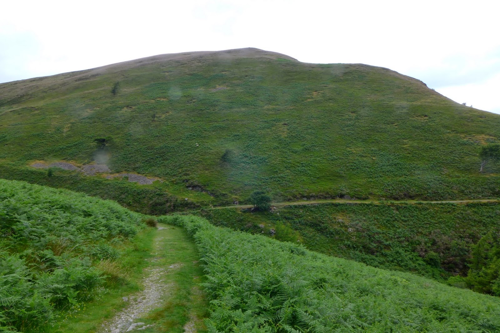
Almost as soon as the path meets Loweswater, a track lead up through the pines eventually emerging on a col between Carling Knott and Burnbank Fell. The path then skirts along the Loweswater side of Burnbank Fell. I kept walking until the the steep gradient up to the summit on my left looked a little less severe. There's no path and so it's a case of picking your way upwards through the grassy tussocks.
 |
| Burnbank Fell through a dirty camera lens |
 |
| Nice spot to admire Loweswater and Grasmoor beyond |
The summit of Burnbank Fell is a wide grassy expanse. There's good views over to the coast but otherwise nothing too exciting. It was then a pleasant stroll along a grassy path to Blake Fell and then Gavel Fell.
 |
| Burnbank Fell looking towards Blake Fell |
 |
| Blake Fell summit shelter |
 |
| Gavel Fell looking south towards Great Borne |
 |
| Rain streaks over the coast |
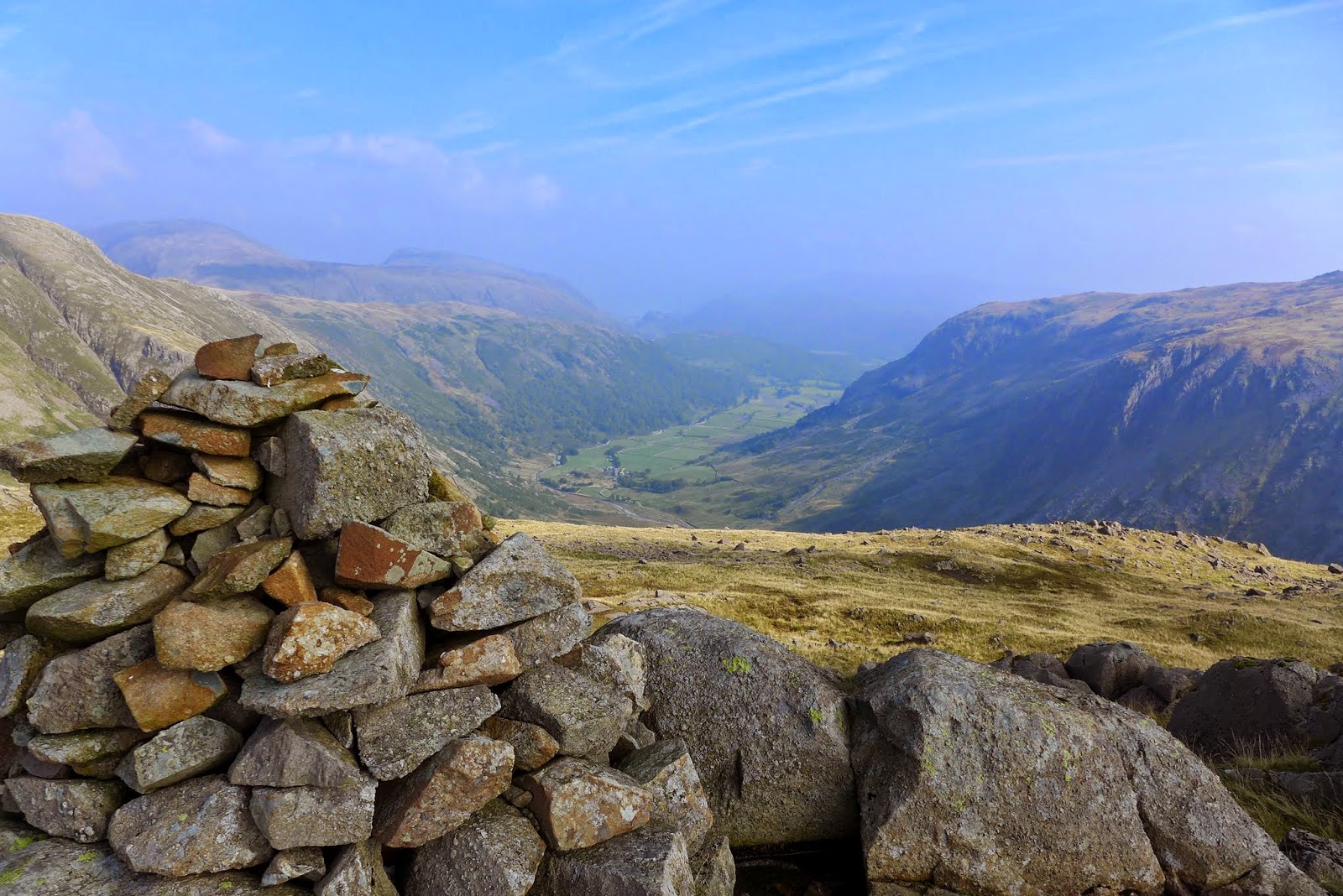
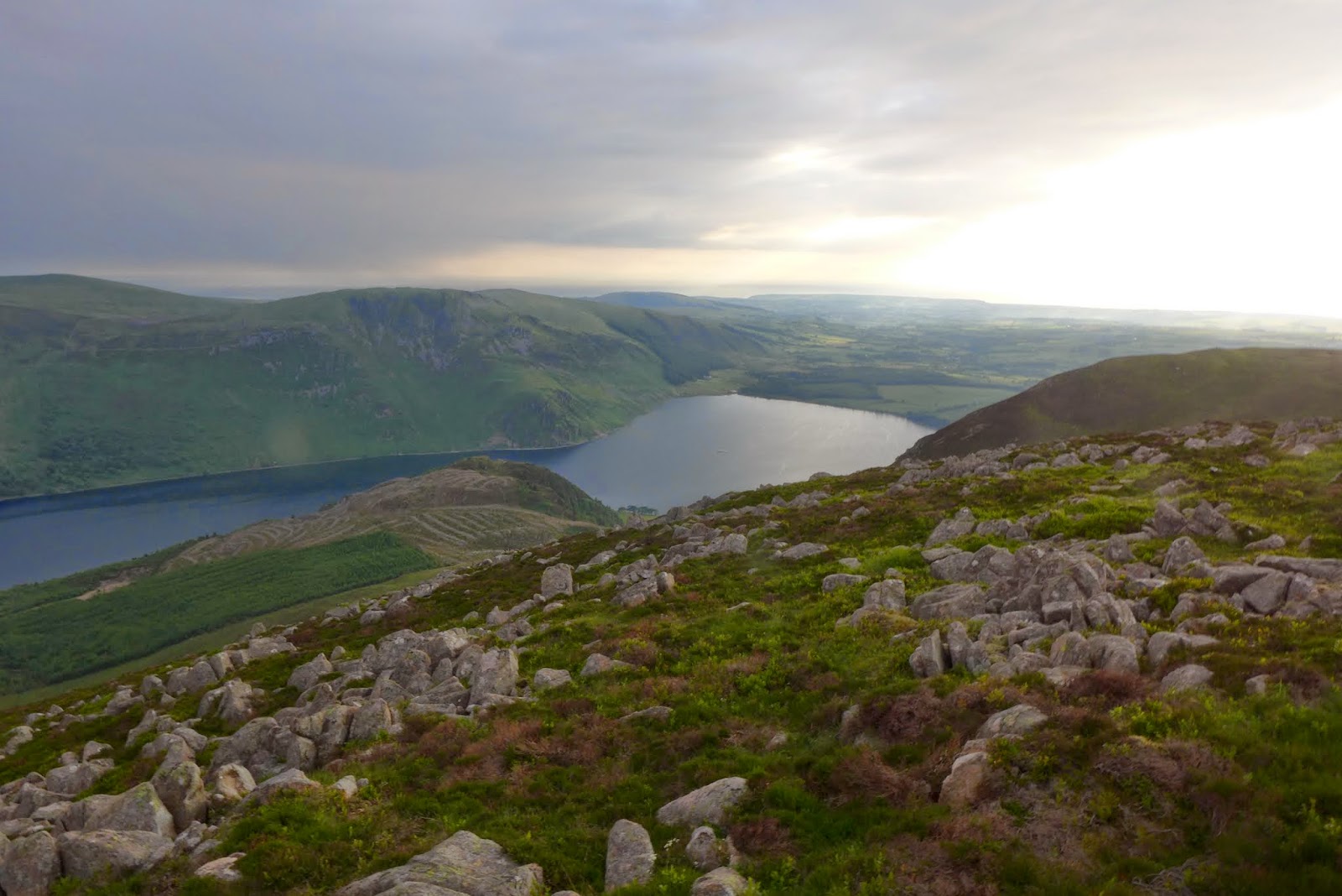
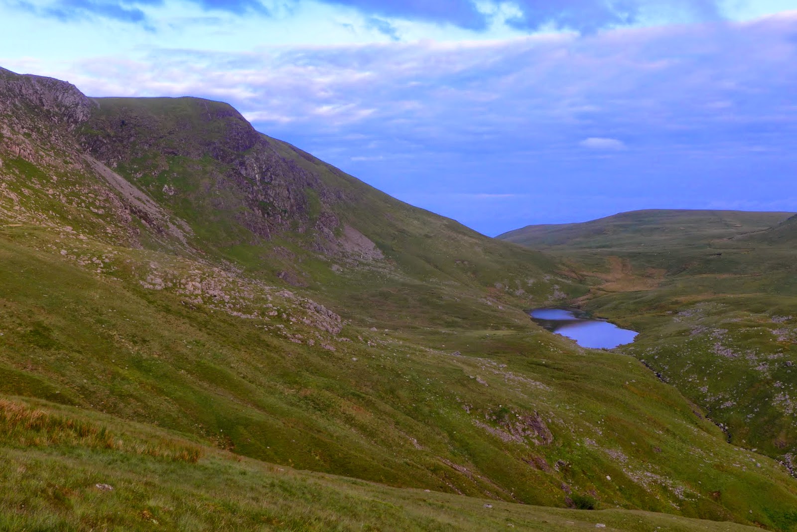
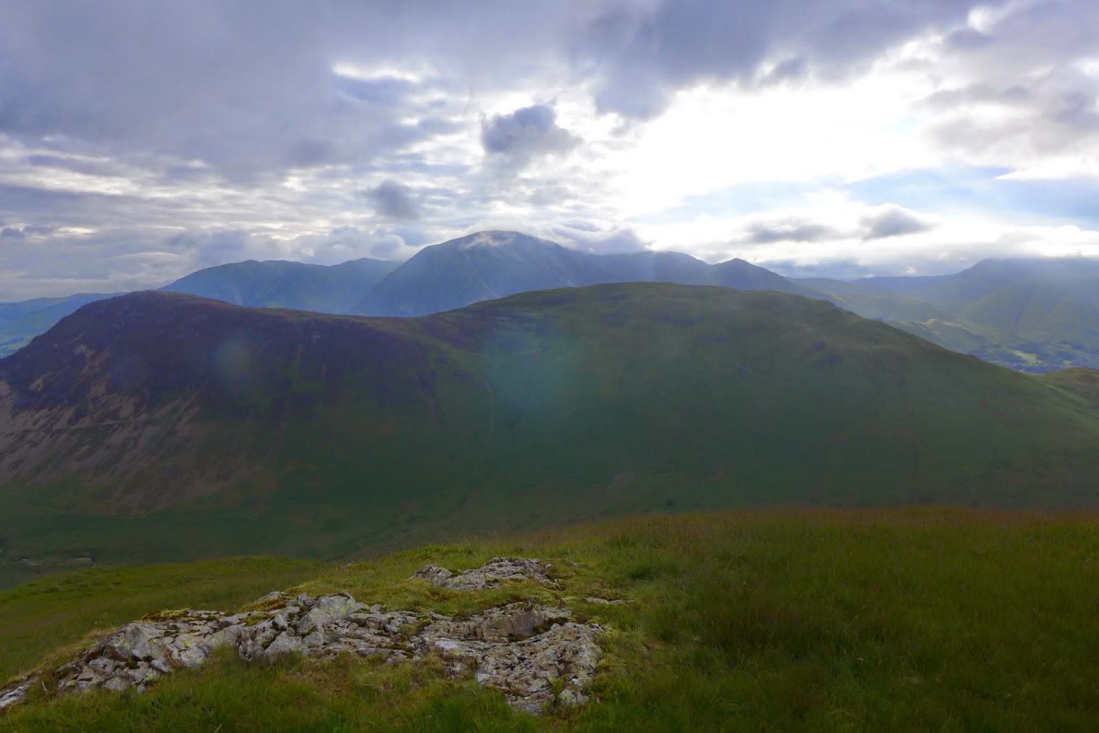
From Gavel Fell the scenery becomes progressively more interesting as the Crags of Great Borne are approached and the lovely secluded Floutern Tarn comes into view. A short deviation up onto Floutern Cob provides the best view point.
 |
| Looking towards Great Borne |
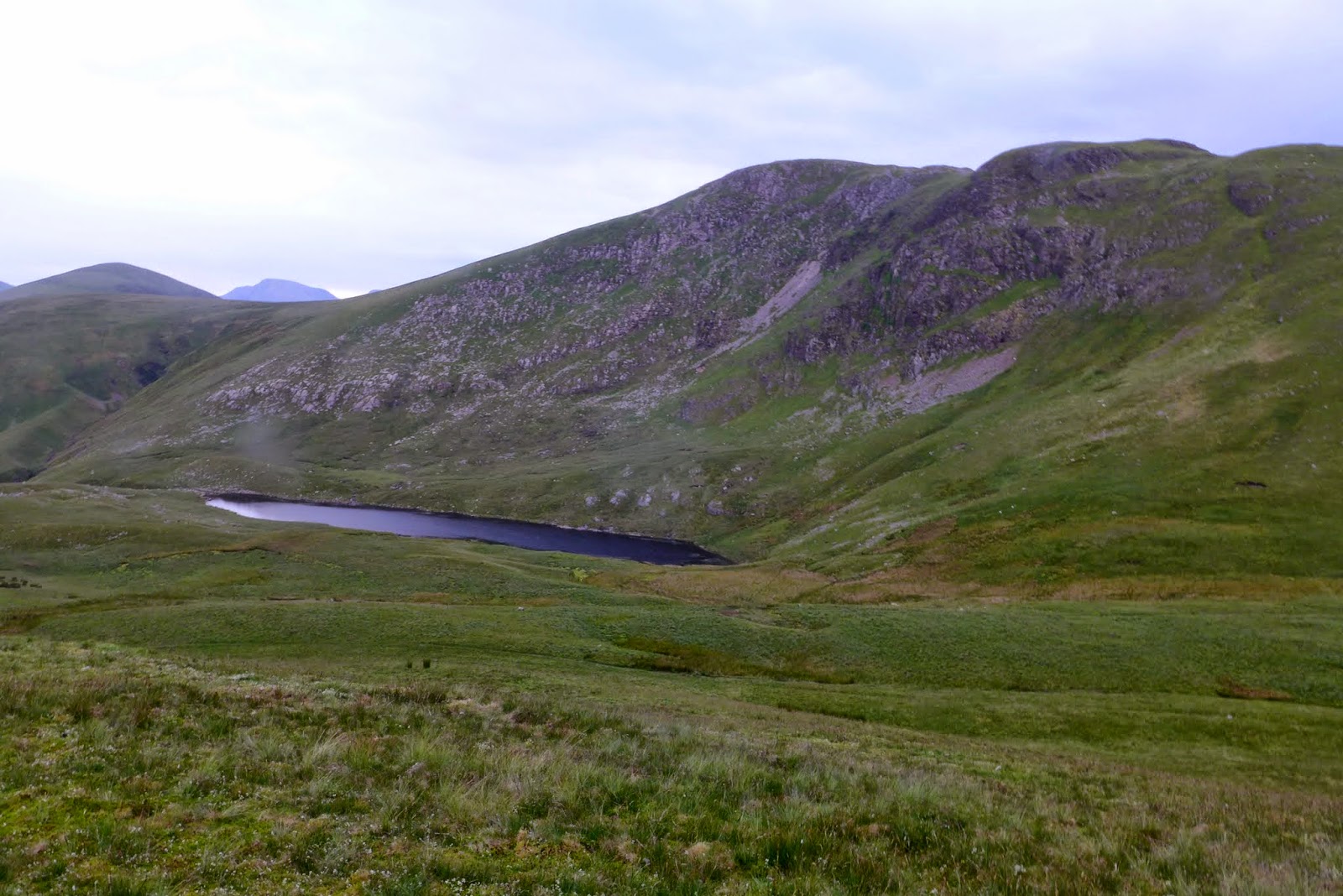 |
| Floutern Tarn from Floutern Cob |
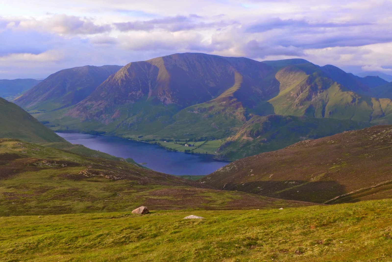
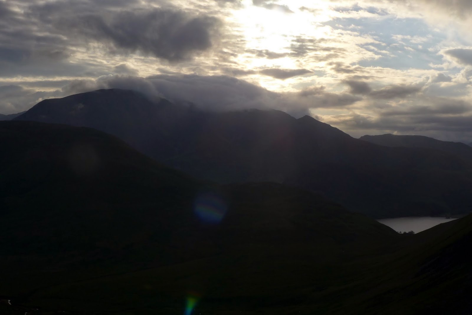
A steep path follows the wall up to the summit plateau of Great Borne. The lovely Ennerdale Water is not in view from the summit but a 2 minute amble to the western side resolves this issue superbly.
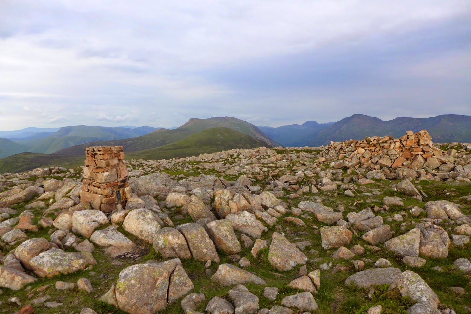 |
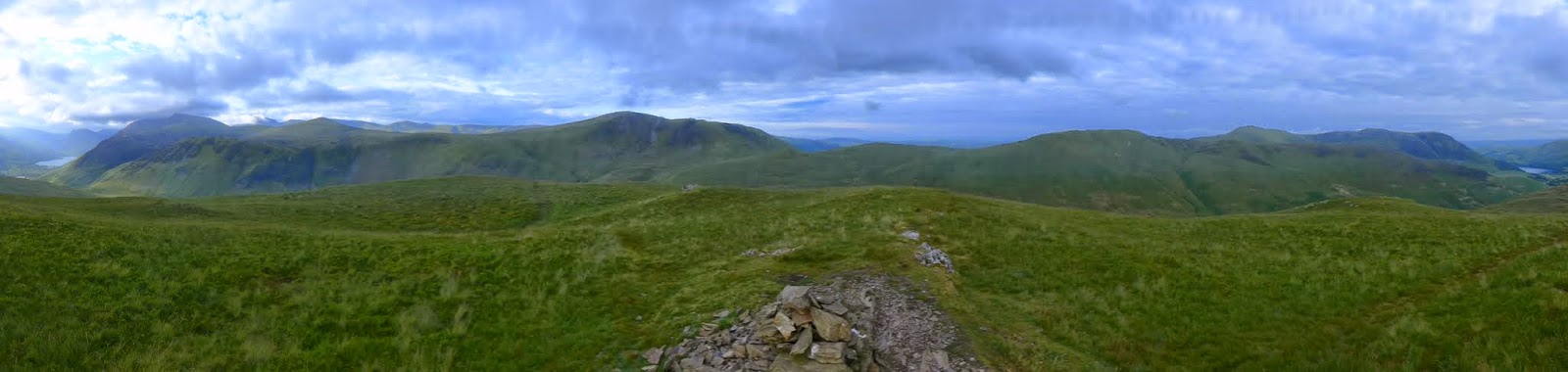
| Great Borne summit looking south to Starling Dodd & Red Pike |
 |
| Great Borne summit panorama south |
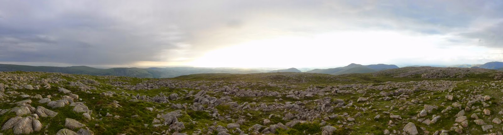 |
| Great Borne summit panorama north |
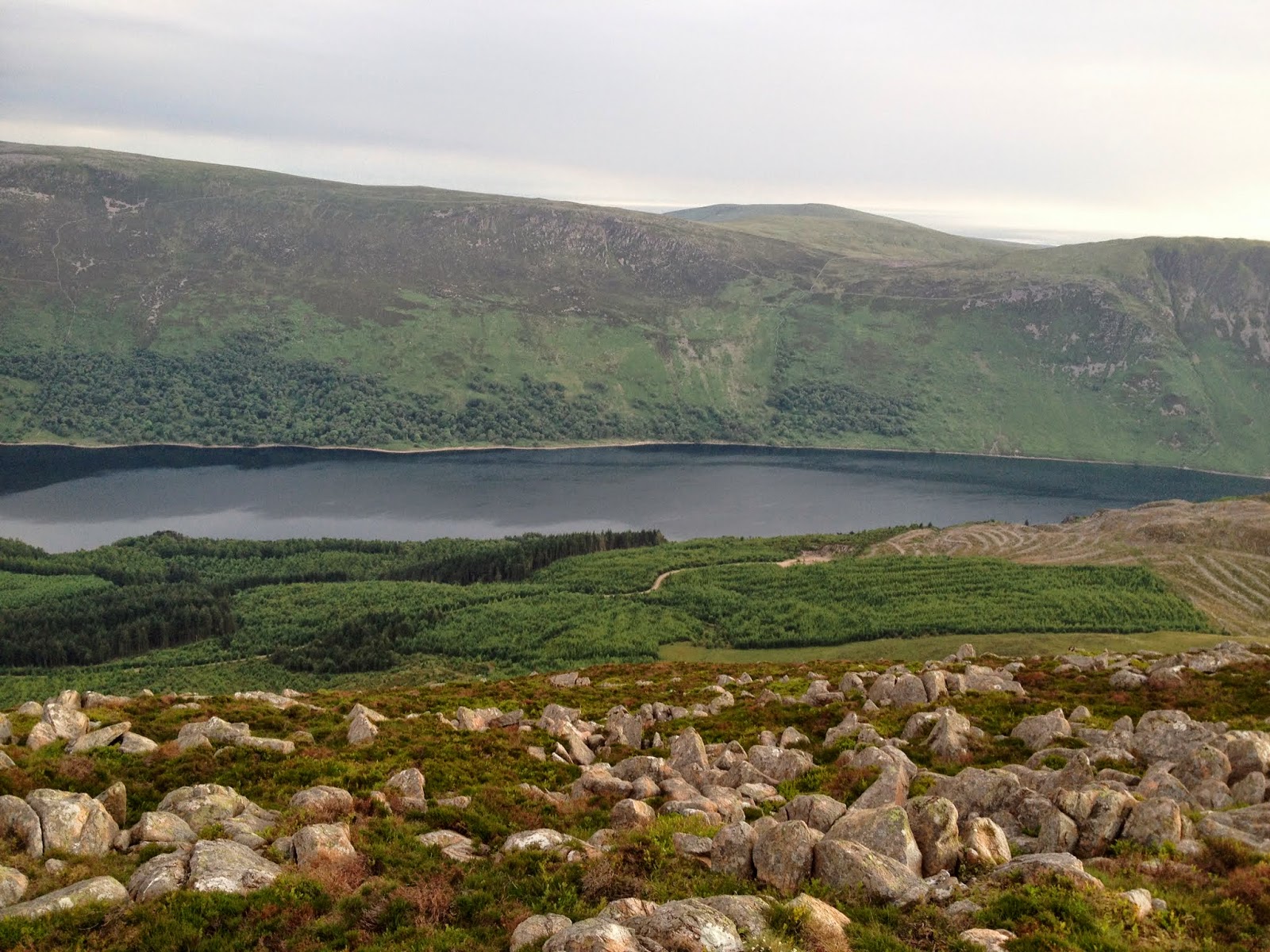 |
| Ennerdale Water from Great Borne |
 |
| Ennerdale Water from Great Borne |
It was now 8pm. There would be no problem reaching Starling Dodd before sundown and despite suggestions of an impending downpour the weather was holding up nicely. On the way up to Starling Dodd summit the sun even came out.
 |
| Heading up Starling Dodd |
 |
| Starling Dodd summit looking towards Red Pike |
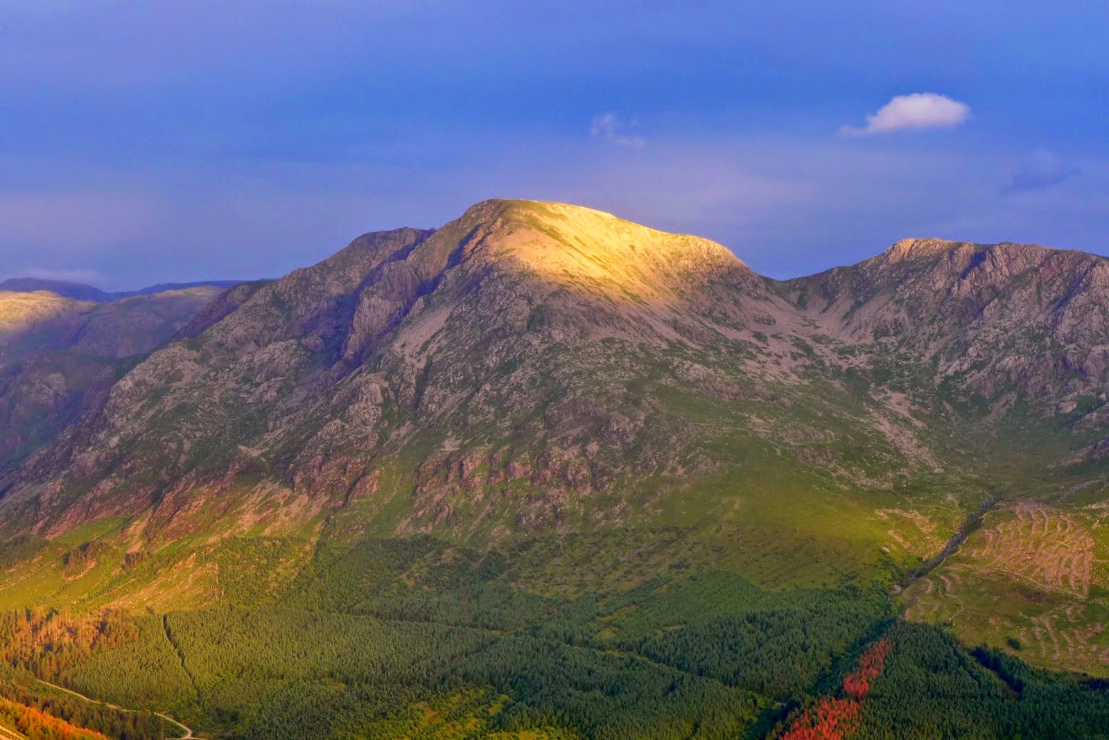 |
| Sun lights up Pillar |
 |
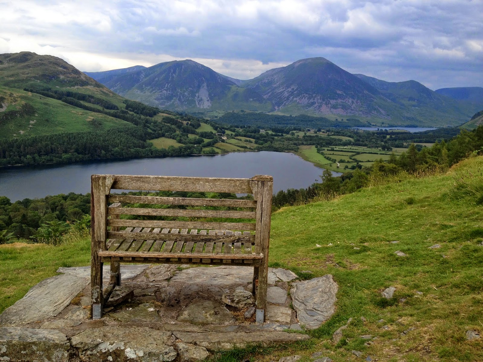
| Looking over Crummock Water towards Grasmoor |
 |
| About an hour off sunset from Starling Dodd |
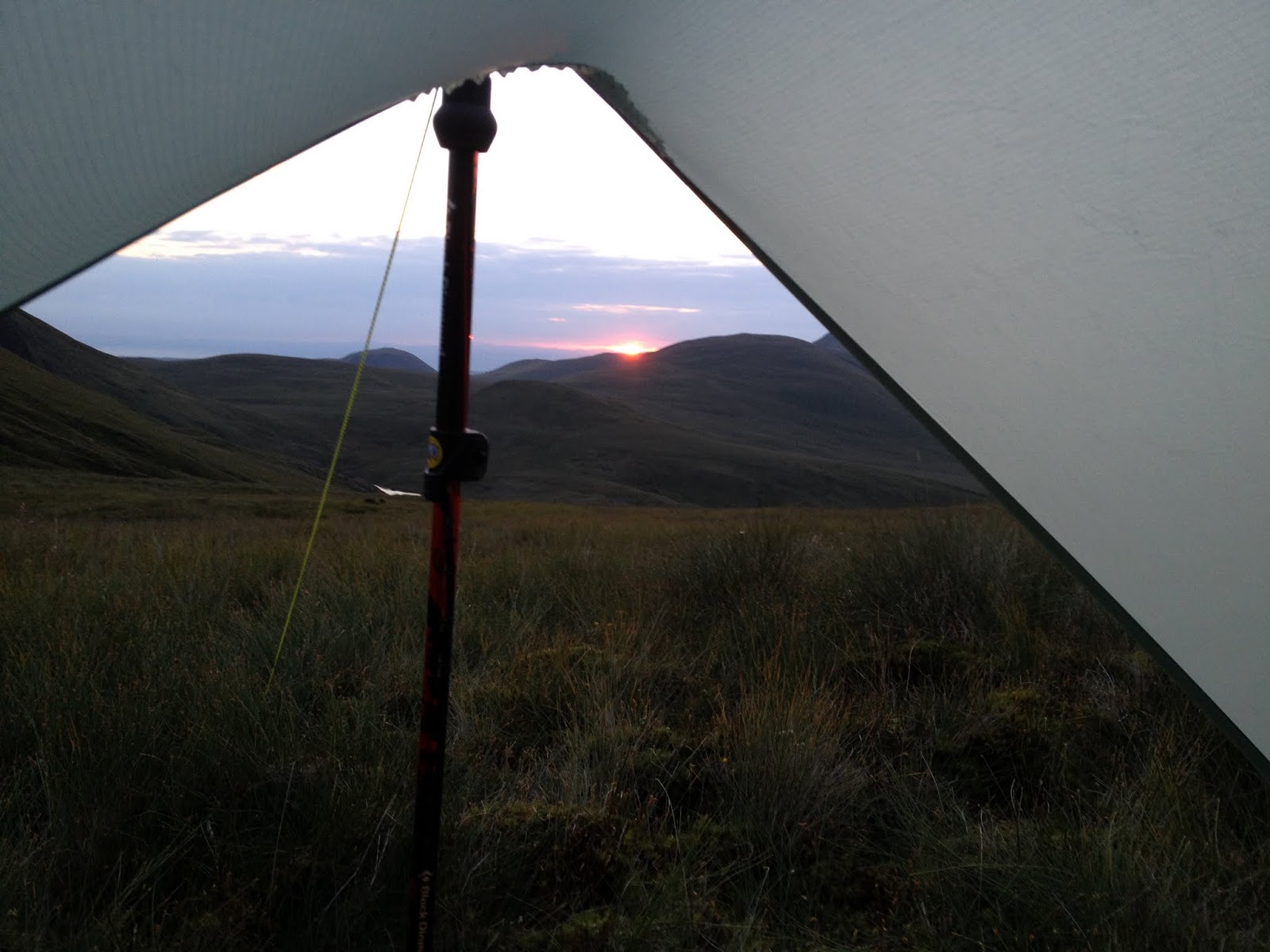
It was now time to find a place to make camp. There was still an hour before sunset so I decided to head back towards Great Borne where I'd spotted a nice flat grassy area just above Floutern Tarn.
 |
| Pitched up just above Floutern Tarn |
 |
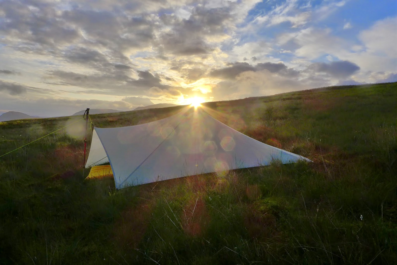
| The Trailstar's inaugural pitch |
 |
| Sun Setting behind the cloud layer |
 |
| Room with a view |
This was my first time pitching the Trailstar in the fells and I was pleased that it went up nice and easy, thanks mainly to some expert advice from experienced trailstar users on twitter (namely @munro277 and @outdoorsMH). Overall I was really impressed with the room underneath. It was a novelty to be able to cook under this huge shelter with no windshield required. My only mistake was pitching on a slight slope (well it looked slight at the time!) which meant my mat kept slipping off the ground sheet towards the entrance. Just as well the grass was soft & dry so I abandoned the sheet, put the rucksack under the foot end of the mat and Voila!, problem solved (well, improved anyway). I took a bivvy bag with headnet but there were no biting insects so it stayed in the rucksack.
Thankfully the weather stayed dry overnight and the wind was minimal. I was up at 5am to catch the sunrise. A bank of cloud was moving slowly northwards, lapping over Grasmoor. It must have been a spectacular sight from up there.
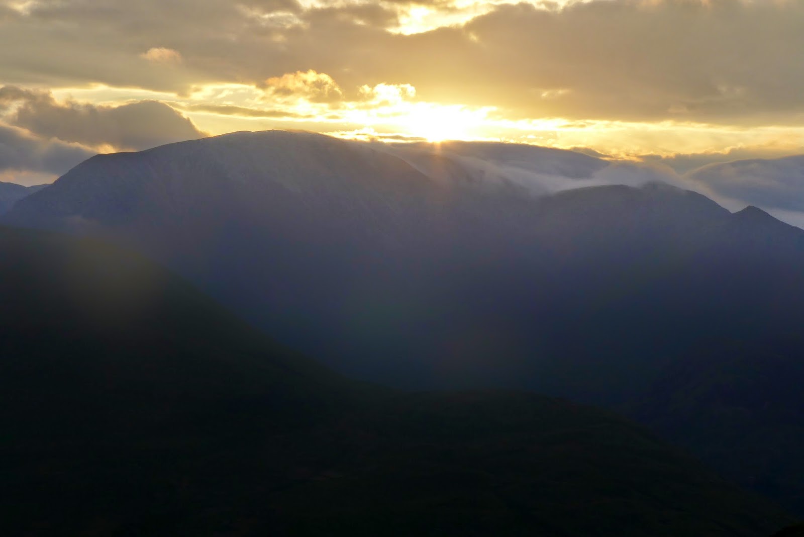 |
| Sunrise over Grasmoor ... |
 |
| ... and over the Trailstar |
I was packed up and away by 6am. It was a steep descent besides Red Gill over which I spied another wild camper just packing up besides Floutern Tarn. Although I didn't know it at the time, this was @hillwalker66 who had camped in a lovely spot just by the water.
 |
| Floutern Tarn under Great Borne in the morning sun |
 |
| The cloud bank moves over Grasmoor summit |
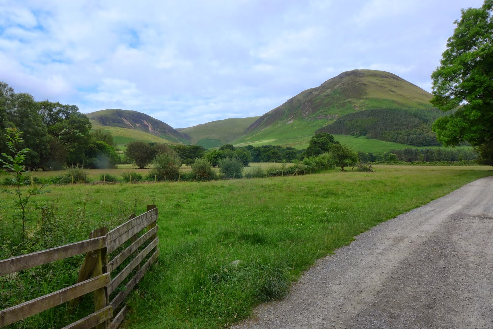
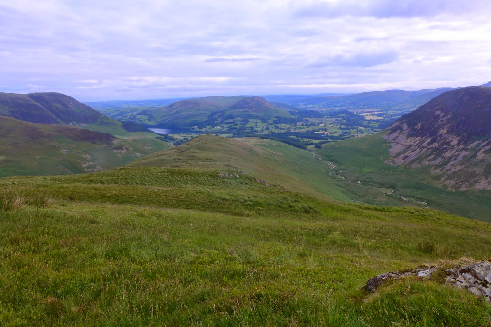
My route then followed the wall up to Hen Combe where the views are a little restricted as it is sandwiched between the higher fells of Mellbreak and Gavel Fell over valleys to the east and west.
 |
| Hen Comb summit panorama west |
 |
| Hen Comb summit panorama east |
 |
| Glimpses of Buttermere from Hen Comb |
|
 |
| Grasmoor over Mellbreak |
 |
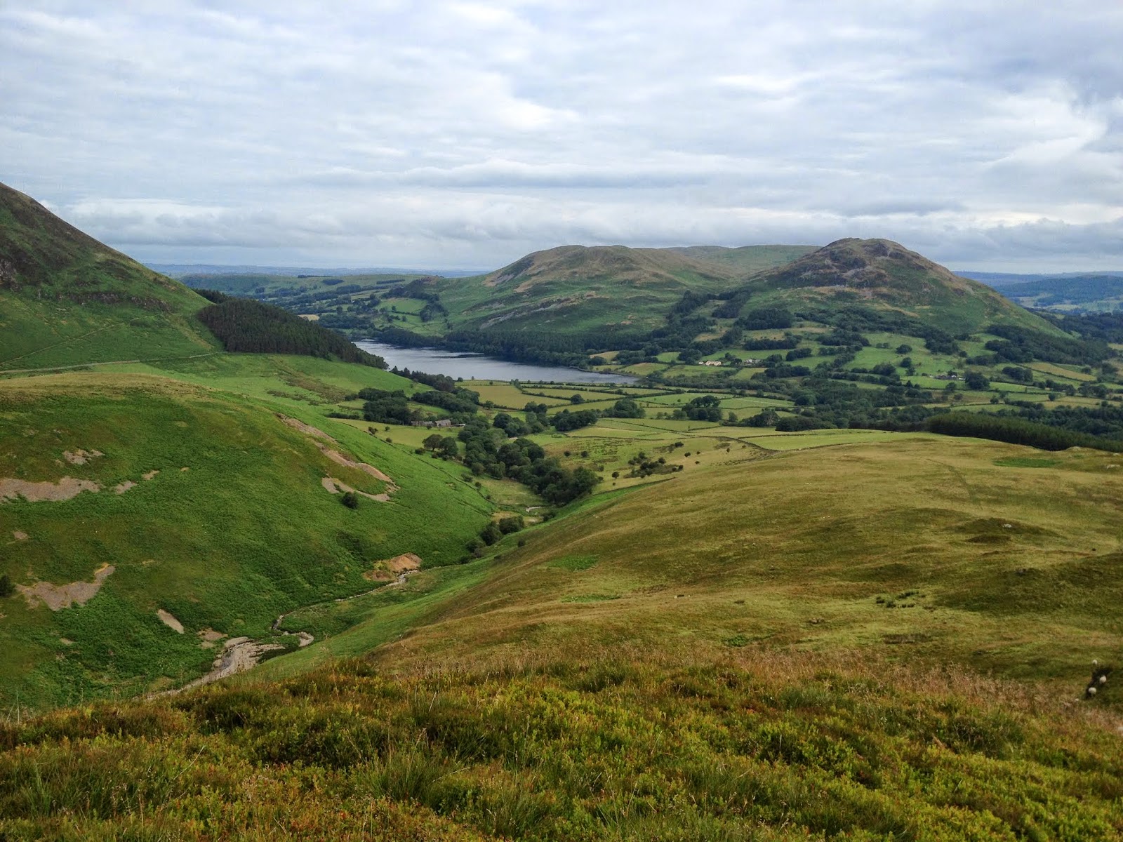
| The way back to Loweswater from Hen Comb |
 |
| Mellbreaks less often seen side |
 |
| Loweswater from Little Dodd |
 |
| Darling Fell and Low Fell |
So another 6 Wainwright's ticked off and the Christenening of the Trailstar. Will hope to be out again for another wildcamp in a few weeks. Not sure where yet but most likely some of the northern fells.
Wainwright Count = 142/214
Kit List
Shelter : Mountain Laurel Designs Trailstar (570g)
Pegs : 5 x 9 inch Easton, 5 x 6 inch titanium scewers, 1 x MSR blizzard stake (doubles as a trowel)
Mat : Exped Synmat UL 7LW (595g)
Bivy Bag : Mountain Laurel Designs Superlight Bivvy (200g)
Sleeping Bag : Rab Alpine 400 (970g)
Pillow : Backpackinglight - Backpacking Pillow (62g) stuffed with Montane Prism 2 jacket.
Stove : High Gear Blaze titanium stove (48g) + Primus 100g Gas Cart
Pans : Evernew Solo-set (pot & mug 250g)
Rucksack : Osprey Talon 44 (1.09kg)
Fluid : Deuter Streamer 2lt Bladder (185g) + Sawyer Squeeze filter (84g)
Food : Fuizion Chicken Dansak, Buttered Bread, Supernoodles,various sugary snacks, coffee, cup-a-soup.
Bits & Bobs :
headtorch and spare batteries, Iphone + Anker 5800mHh battery, tent
light, victorinox knife, map & compass, basic first aid kit and
Petzl e-lite, long handles titanium spoon, various fold dry bags, flint
& steel.
Camera : Panasonic LX7 & lowepro case.
Clothes :
Base layer = Rohan Ultra Silver long sleeve T (95g) & leggings
(80g) (used in sleeping bag instead of a liner), Ron Hill wicking
T-Shirt, Mountain Equipment Ultratherm jacket (275g), The North Face Meridian Shorts,
Montane aero cap, ME beany, TNF 'E Tip' gloves, sunglasses,
Buff, Bridgedale socks.
Thermal = Montane prism 2 jacket (423g) - doubles as a pillow when packed into its own pocket.
Shell = ME Firefox
jacket (320g) & trousers (295g).
Trail Shoes : Meindl Respond GTX (820g pair)
Poles : Black Diamond Trail Compact (488g pair)
Loaded rucksack weight = approx 8kgs (excluding water)