Showing posts with label walk. Show all posts

Friday, April 12, 2019

High Rigg from Thirlmere

Date: 12th April 2019
Start/Finish: Smaithwaite Bridge, North Thirlmere
Wainwrights: High Rigg
Distance: 7.5 Miles
Max Elevation: 1224 Feet
Height Gained: 2470 Feet
Time Take: 3 1/2 Hours


The Route : Clockwise from Bridge End (most southern point)

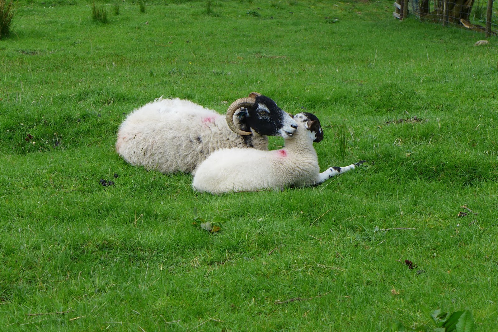
This was first time back in the fells after a 6 month hiatus. I've lost a bit of fitness so decided to peruse the less lofty fells on my Wainwrights 'to-do' list. High Rigg seemed like a nice option. Indeed Wainwright described this very walk as being "... suited to old and rickety fellwalkers long past their best". Perfect for me then! He also suggests doing the walk clockwise so that the lovely views of Blencathra are always in front when on the higher ground. I therefore followed this advice. 

I parked right by Smaithwaite Bridge on the A591. There is a stile and gate within the dry stone wall just north of the bridge where the path heads along St John's Beck. A steepish path then branches off on the left towards Wren Crag. The hillside is littered with uprooted trees following the recent winter storms.

The Stile on the A591

Views down to St John's in the Vale from the upwards path

The first of many uprooted trees on the hill side

Looking back towards Great How

The path up to Wren Crag

Glimpses of Thirlmere behind

Views from Wren Crag looking north - Mart Crag with Blencathra and Skiddaw on the horizon and down along the 'St Johns in the Vale' valley 

A little un-named tarn between Mart Crag and High Rigg

The path up to High Rigg

High Rigg summit views of Blencathra ...

… and back towards Thirlmere

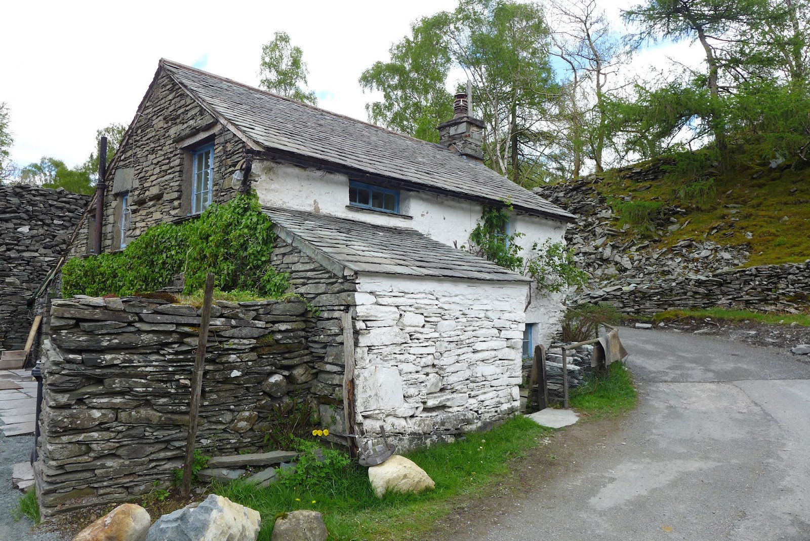
From High Rigg I decided to extend the walk over Low Rigg and Tewet tarn. The path passes the little church and youth centre. 


Low Rigg over the Youth Cente 

There can't be a more picturesque Youth Centre in the UK ?

Looking back over High Rigg

Skiddaw from Low Rigg summit

Tewet Tarn


I then headed back via Yew tree farm and the main path skirting Rake How and heading towards Low Bridge End Farm following the course of St John's in the Vale Beck. Overall a lovely little walk perfect for blowing off the cobwebs. 

Thursday, July 26, 2018

Castle Crag and the Borrowdale Valley


Date: 26th July 2018
Start/Finish: Rosthwaite Hotel
Wainwrights: Castle Crag (951 feet)
Distance: 5.6 Miles
Height Gain: 2080 Feet
Time Taken: A very leisurely 4 hours

Social Hiking Map Link

The Route: Clockwise from the Rosthwaite Hotel

Castle Crag is a bit of an outlier as it doesn't easily link up with any surrounding fells without significant height loss. Its nearest neighbours of High Spy to the west and Grange Fell to the east are best climbed in a circuit of their respective neighbouring fells. For this reason, Castle Crag is often the last Wainwright climbed on the circuit of 214. However, I was in the area on a family camping holiday and it was a balmy windless day ideal for a low fell with good views. So instead of marching my 11 year old lad up one of the high fells we decided to tackle something lower. Castle Crag fitted the bill nicely, especially as part of a circuit of the Borrowdale valley. It also had the advantage of finishing by the River Derwent where we could cool off afterwards.

We parked on the Rosthwaite Hotel car park and duly paid the £3 all day fee. The walk took us on a wide circular route out towards Seatoller and then looping back towards Castle Crag before descending steeply down to the Derwent. 

Views over to Stonethwaite

First sight of Castle Crag (centre left)

Surveying the destination

A steep ascent

Remnants of previous quarrying

Views southwards from the ascent path

Slate cairns 


Summit views of Derwent Water

The summit

Cooling off in the Derwent 

Those fish were actually nibbling our toes!


Sunday, May 22, 2016

A Skelwith Saunter: Black Fell and Holme Fell

Date: 20th May 2016
Start/Finish: Skelwith Bridge
Wainwrights: Black Fell & Holme Fell
Distance: 8.1 Miles
Height Gained: 2013 feet
Time Taken: 5 hours


View of the day: Windermere from Holme Fell

The route: Clockwise from Skelwith Bridge (top right)

The forecast was poor. Low cloud and some rain. I figured it might be a good day to tick off some of the smaller Wainwrights that had a chance of staying below the cloud base. This was a blessing in disguise as I was feeling particularly unfit after a 3 month absence from the fells. From the 'to-do' list, Black Fell and Holme Fell looked good for a nice low level circuit. 


The little road from Skelwith Bridge

The scent of spring

The first of many lovely little cottages seen today

The walk started well enough. A nice woodland path lined with bluebells and freshly unfurling bracken. There wasn't an obvious path up onto Black Fell so I just headed upwards along vague forestry tracks until one materialised near the summit. It's a nice little fell, well placed to peruse the surrounding area and offering particularly good views of Windermere.


Views over to Loughrigg
Black Fell

Windermere from the summit

Summit trig - named Black 'Crag', despite there being minimal 'craggyness'

From here my intention was to make a beeline straight towards Holme Fell but that route looked a little dull. I consulted the map over a Coffee and a Tunnocks wafer and decided that I should probably extend the walk around Tarn Hows which would be far more picturesque.   


Looking over to Holme Fell and Wetherlam beyond

A path and some trees

 At this point the rain set in. The forecast predicted a few fleeting light showers and so I put my trust in the met office and stubbornly left the waterproofs and rucksack cover in the pack. The rain became heavier. I passed a few goretex clad people who glanced at me with knowing looks of superiority. The rain became torrential. Eventually I accepted defeat, took shelter under a tree and begrudgingly donned the shell jacket and fitted the rucksack cover. I set off with renewed purpose. The rain stopped. I stubbornly left the waterproofs on as I convinced myself that the clouds still looked threatening. The sun came out. I passed a few people in T-shirts who glanced at me with knowing looks of superiority. I started sweating. Eventually I accepted defeat and took off the waterproof garb. I continued on with a niggling feeling that there was probably a lesson to be learned here about using layers effectively but convinced that my many years of hill walking experience meant I was already an expert in such matters.


Tarn Hows looks pretty in any weather - even though it is entirely man made


Tarn Hows in October 2012 - from a previous walk in better weather

I followed the waterfalls path down from Tarn Hows to Yew Tree Farm and then up onto Holme Fell.


Yew Tree Farm

Holme Fell, looking quite ominous for its size

Wild Garlic - You can almost smell it!
A giant killer slug
The slugs were out in force today. This one was the size of a small dog and delighted in worrying sheep. I also think it was after my lunch, until the threat of a ready salted crisp sent it packing.


A fell cow
I've never seen 'fell cows' before. This one was blocking my path in a 'Gandalfesque' manner. It was looking like a stand off until I commented on her good looks, she bowed her head in modesty, and I slipped past. 


A fell cow savaging the local flora

Hunting in packs
The path steepens near the summit, which turns out not to be the summit but a prominence called 'Ivy Crag'. The real summit winks suggestively from the other side of a little, but steep depression, which required a bit of scrambling to get to the top.


Views over to Langdale from Ivy Crag

The real summit of Holme Fell is over there, with Wetherlam beyond

Lunch spot view of Windermere from Holme Fell summit

Wetherlam
 Objectives achieved, it was now time to head back. I set off down towards a lovely little tarn which was labelled simply as 'Reservoirs (disused)' on the OS map. 


Funny looking 'Reservoir'


I guess this must have been a water source for the old Hodge Close slate quarry. Now it's simply one of many little un-named tarns in Lakeland. From here, a path winds it way through the old quarry to join the Cumbrian way back to Skelwith bridge.


The old slate quarry

Venue for next years 'Red Bull cliff diving' event


Yeh I could live there ...

... and there

Lingmoor Fell

A cryptic message asking dog owners to introduce their pets to leads

Ahhh ..... or should that be Bahhh

I could live there too ...

Yep I could definitely adjust to such squalor 

I could even tolerate the ram shackled garden
I really need to win the lottery. For the time being though, I really need to knuckle down and plan the next hike. 56 fells to go.